
This winter has really sucked! People are saying that it’s been strange and unpredictable. In reality though, it’s been one of the more predictable and cyclical winters I can recall.
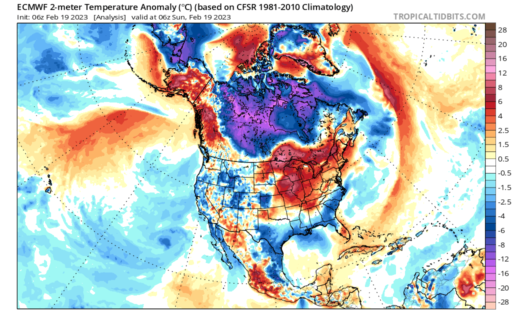
We were entering the third consecutive winter under a moderately strong La Nina regime. We saw what the previous two did. Throw in amazing early November warmth, and I saw the handwriting on the wall.
We’re currently at the nadir of our latest snow drought. But the cards will get reshuffled to give us one more pulse of winter.
Before I get into the details, let me tell you what this is NOT….
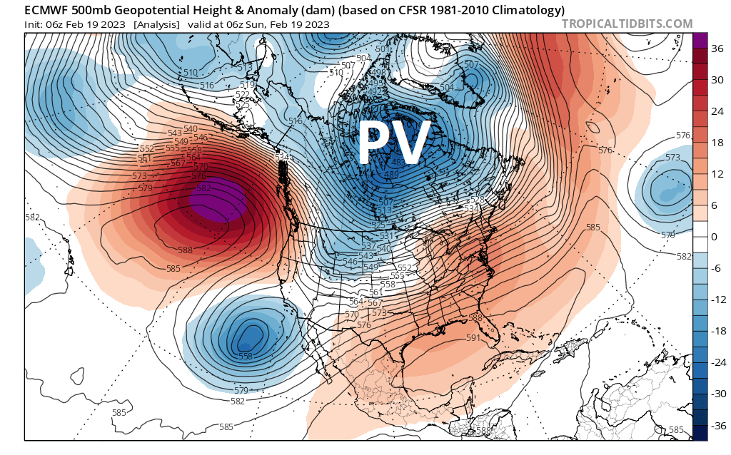
We’re not talking about the Polar Vortex splitting in two and dunking us into an Arctic free-for-all. There is nearly ZERO evidence to support that notion.
But, that doesn’t mean we can’t have some fun to close out winter.
Starting off
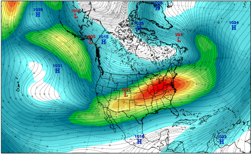
Polar Vortex (PV) is sitting about where it’s been most of this winter, with troughing over western United States. Try the same things, get the same results.
This regime is expected to partially crumble as we press into end of February. This should allow some good things to happen for us.
Batter up!
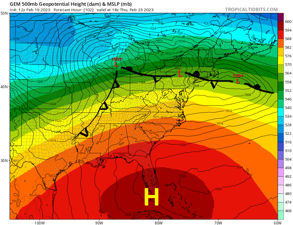
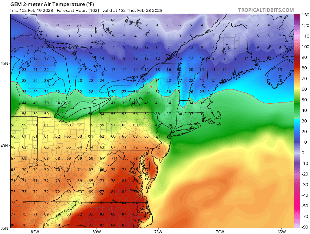
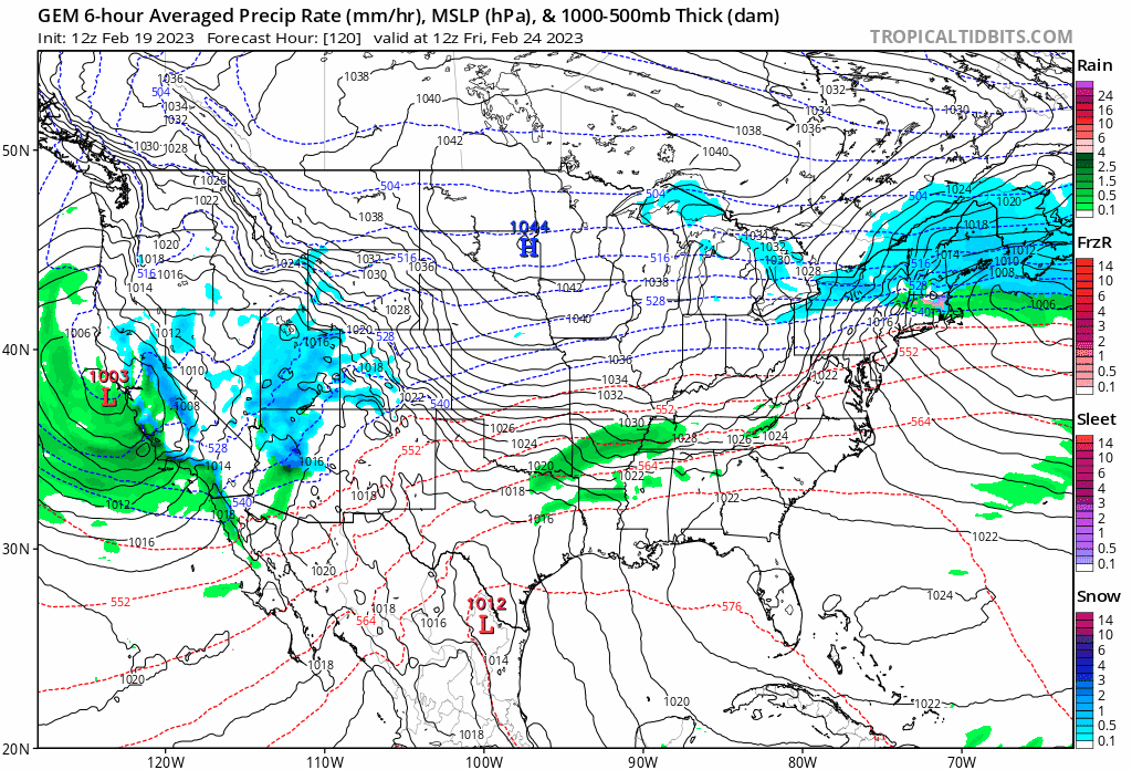
Our first real opportunity for meaningful snow (and eventually sleet) should arrive Wednesday night and continue into Thursday as we enter a battle zone between record-wrecking warmth to the south and Canadian chill to the north.
As with most storms this winter, we’ll be dealing with mixed precipitation forms. As an example only, I’m showing Sunday’s GFS forecasted snowfall through Thursday evening. As you can see, there may be a razor-sharp gradient in snowfall (and sleet) from south to north through ilsnow land.
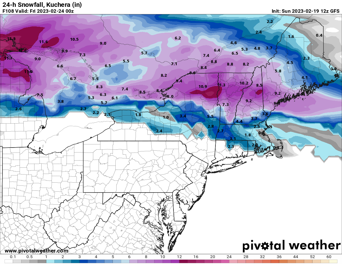
This bulk of this storm is still outside of 84 hour short-term modelology to really hone it in. But we appear close enough to knock on the door. I’ll take that!
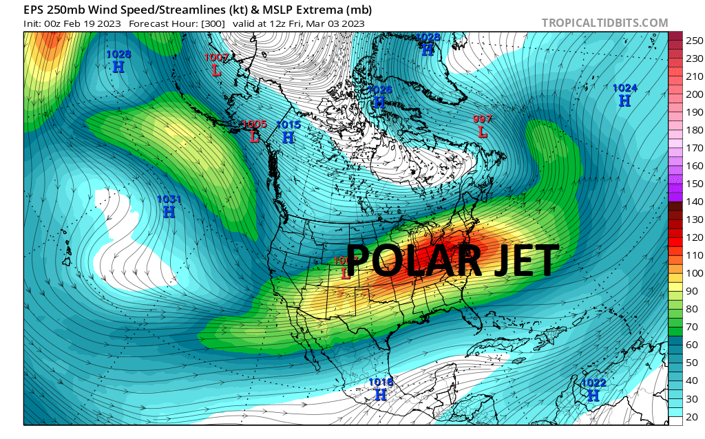
Pressing ahead
After Thursday’s opportunity presses by, we should enter an active weather pattern through the end of February with weak to moderately strong weather systems rolling through. Keep in mind it wouldn’t be especially cold. But cold enough will just have to be good enough this winter!
Early March?
Well… This is where I get really interested! We finally may press into a negative North Atlantic Oscillation cycle (NAO-) with significant warming over Greenland.
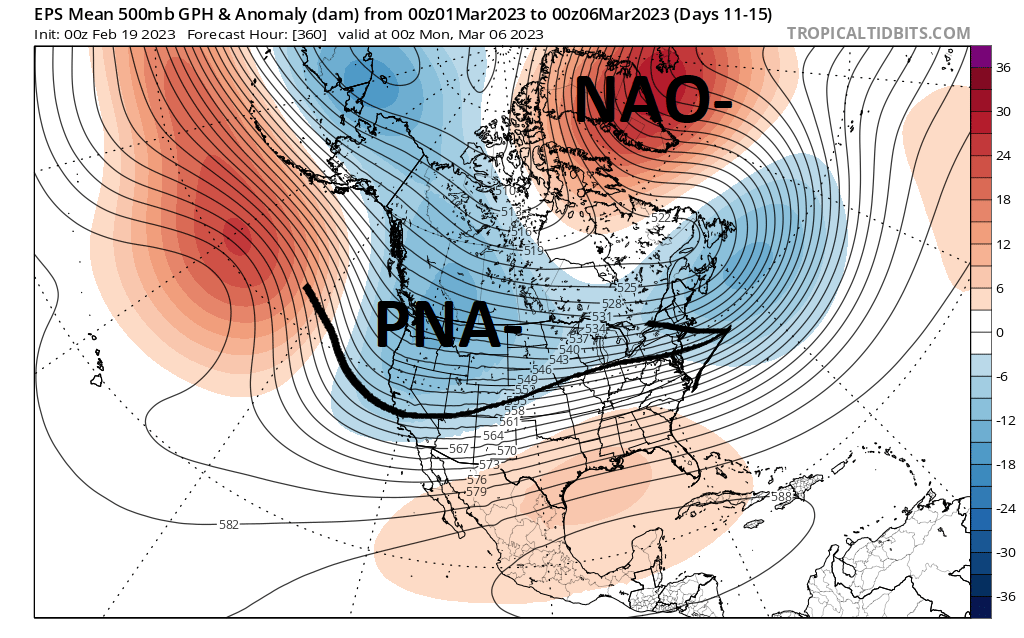
Although western United States would remain under PNA- troughing, the polar jet will become suppressed southward. Fast moving shortwaves moving through the pipeline could yield frequent opportunities for snow (or at least more snow than rain).
If the next 1-2 weeks pan out for ilsnow land, I gonna hit it HARD AND OFTEN! Once the Greenland High dissolves, winter could give up the ghost quickly by mid-March.
For the ilsnow nation.
Darrin
This report is brought to you by Progressive Motorsports, celebrating their 30th year. They live, eat and breathe snowmobiling. Stop in today and see for yourself! Be sure to tell Karen that Darrin @ ilsnow.com sent ya.