We haven’t had any substantial snowfall in weeks, to the point it’s fair to wonder if this winter is a completely lost cause.
As we rolled through autumn I saw a number of strong and obvious signals, indicating that winter could stumble out of the gate, possibly into January. You can click onto this post I wrote in November to read up on those.
Although I couldn’t fully foresee the morass we would eventually become stuck in, I’ve been “Captain Warm” from the start. Sometimes, it really stinks to be correct.
Walk with me
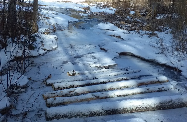
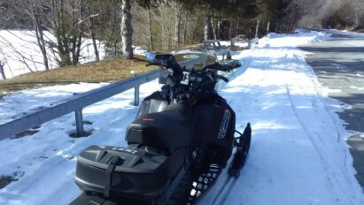
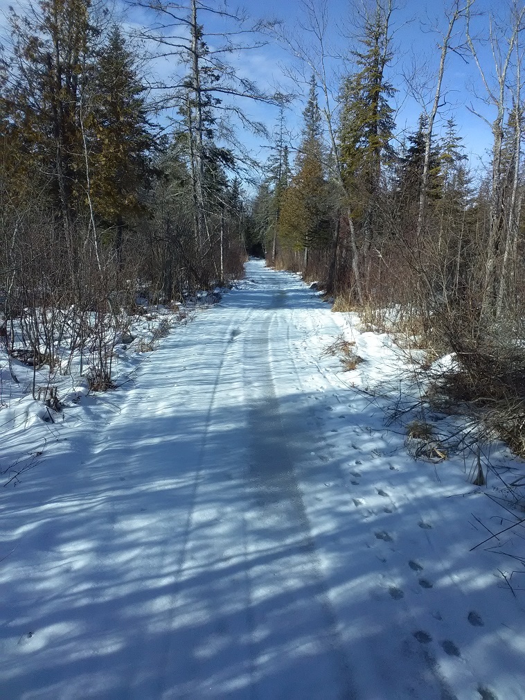
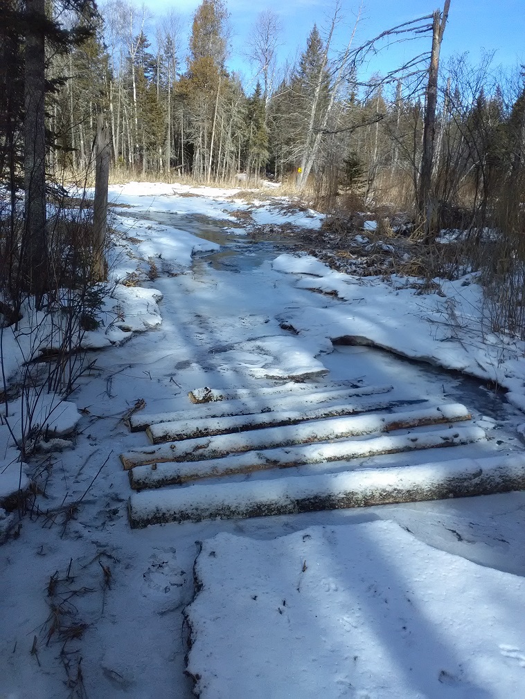
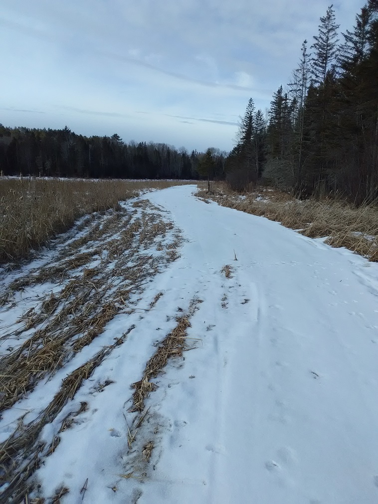
For giggles, I walked the snowmobile trail from Crow Hill Road down to Bear Trap Swamp in Indian Lake, NY on Tuesday. In the shady woods, I’d say that at least 90 percent of what I encountered had crusty snow coverage.
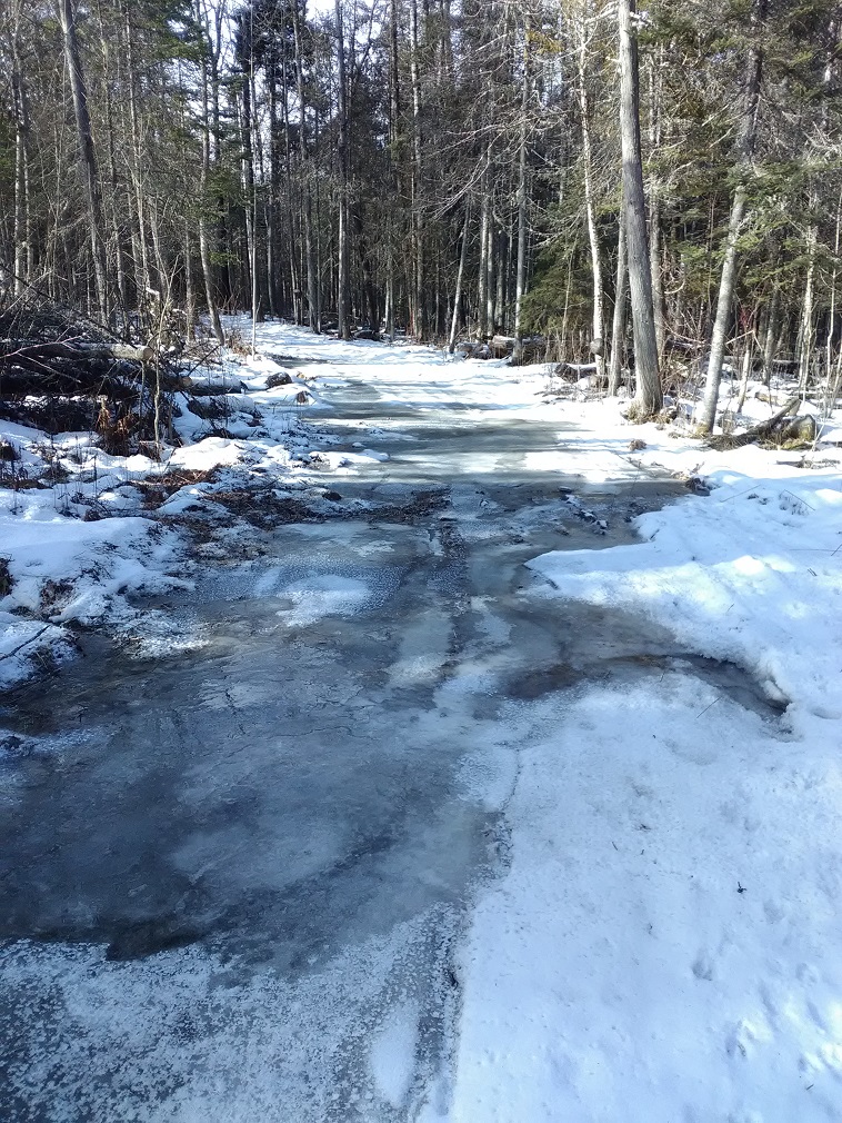
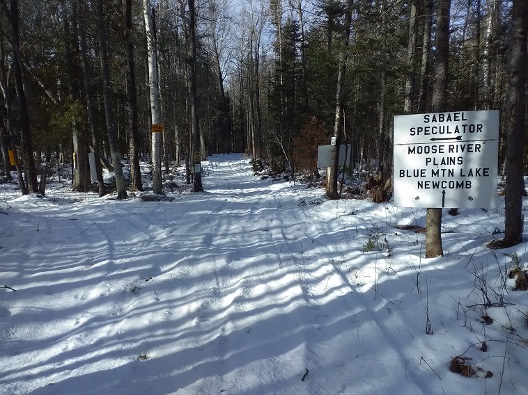
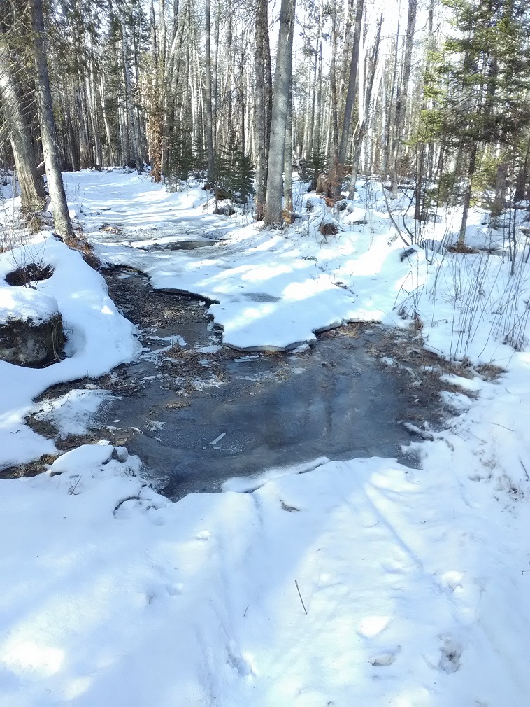
Out of morbid curiosity, I walked C8/Sabael trail a short way past Pashley Road. Not shockingly, it was a more of a mess, since that trail has many stream crossings.
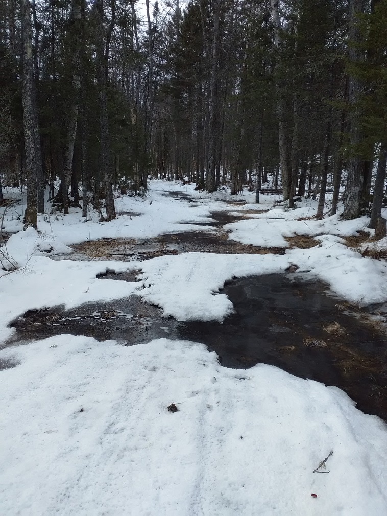
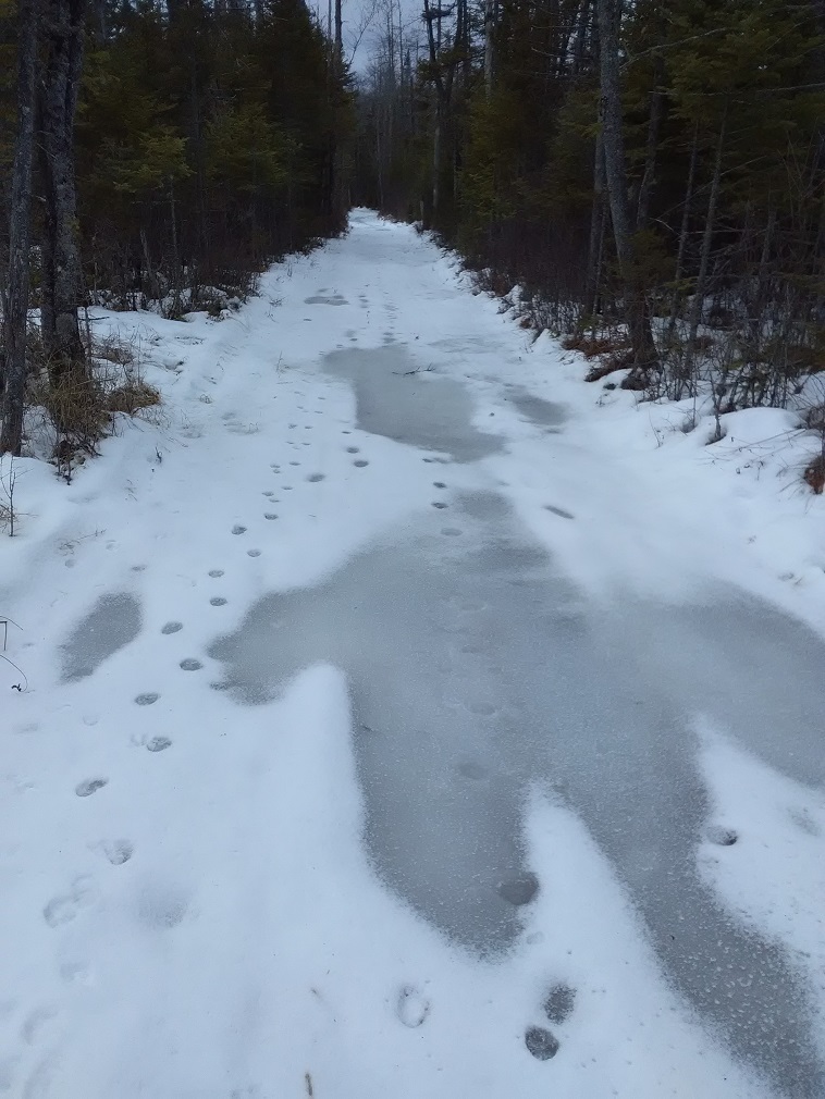
The only good thing I can say about this…. Lack of snowmobile traffic has allowed many water spots to skim over or freeze tight, even with the limited cold we’ve managed. There’s a win in that, somewhere…. As long as there is base in the woods, there’s hope down the line.
Looking ahead
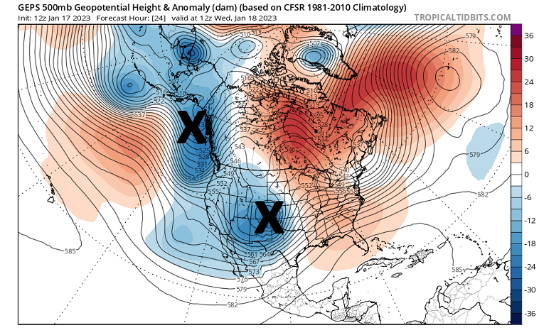
The weather pattern to start this week is a continuation of what has plagued us for weeks: Storm after storm crashing into western North America. This floods the “Lower-48” with mild Pacific air masses and is absolutely hostile toward building up snowpack over the eastern United States.
Even in a hostile environment, we may score a snow hit later Thursday afternoon into Friday as a double-barreled weather system moves through. Since the system is dealing with marginal cold conditions, there may be issues with wintry mix at the storm’s onset. But fairly heavy precipitation early Thursday night should cool the atmospheric column enough for snow.
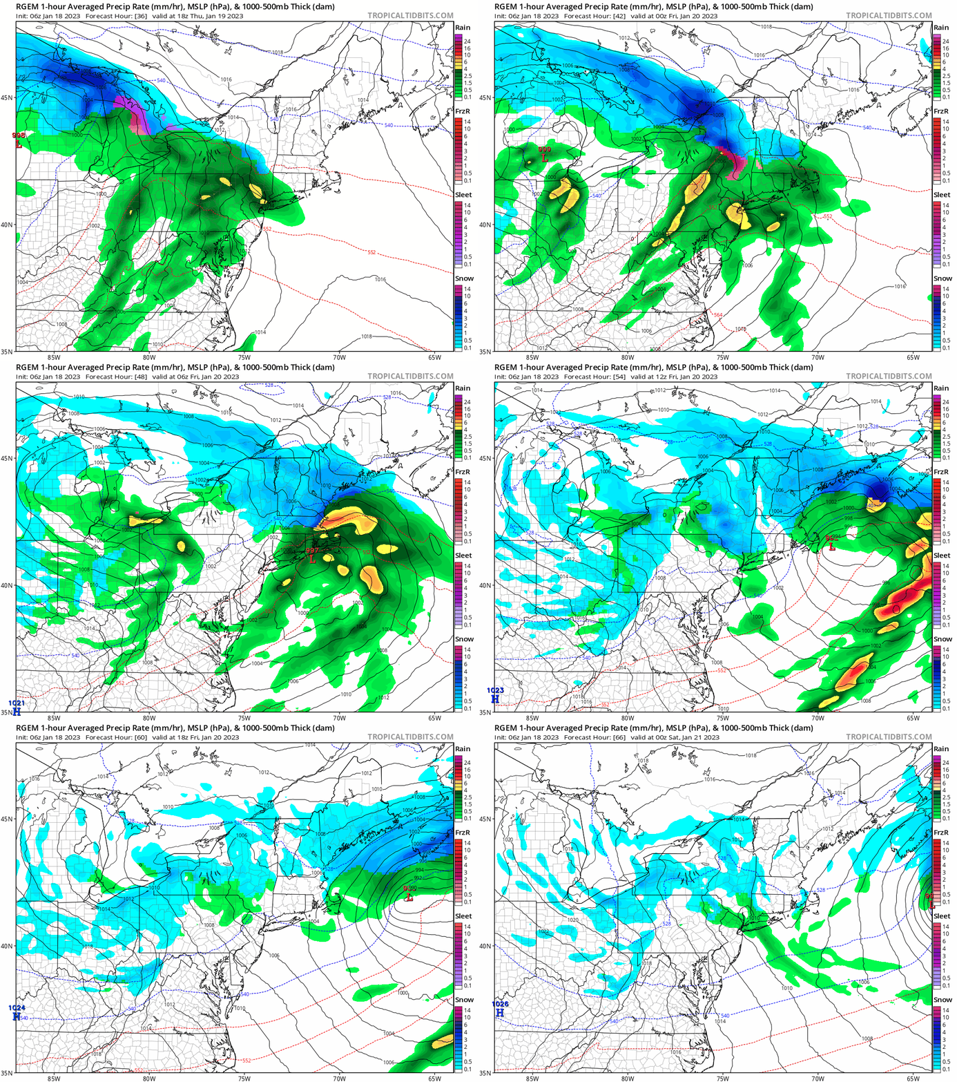
That would push seasonal road snowmobiling trails like Perkins Clearing and Moose River Plains back into snow play for this weekend. You can click here to see my forecast updates for Indian Lake, NY and central Adirondacks.
By next week, ridging develops over the eastern Pacific which shuts off the firehose to the West Coast. Active weather would continue over the southern Rockies with weather systems likely getting ejected further south and east than previously.
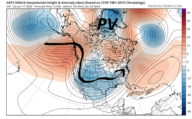
This would be a meaningful change that could open up multiple snow opportunities before the end of January. But this WOULD NOT be a true mid-winter cold pattern. The vast majority of Arctic cold would remain trapped over Siberia. And we may continue to hold our collective breath with storms interacting with only marginally cold air at times.
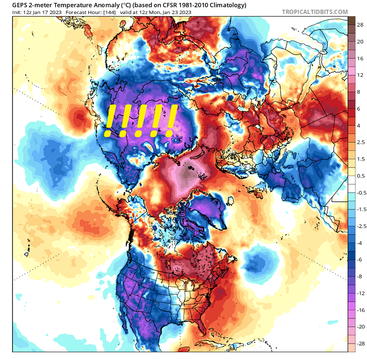
I think the next 2-3 weeks will provide enough net gains to re-establish snow play for the central Adirondacks. But, I don’t have any real faith that we could stay cold without interruption with the Polar Vortex (PV) parked near Greenland for a while longer.
Pushing into February
The stratospheric Polar Vortex has been wound up tightly, which is usually a strong signal for a lack of true Arctic cold over North America. Ensemble modelology is starting to show signs of stratospheric warming over the North Pole and eventual weakening of the vortex into early February.
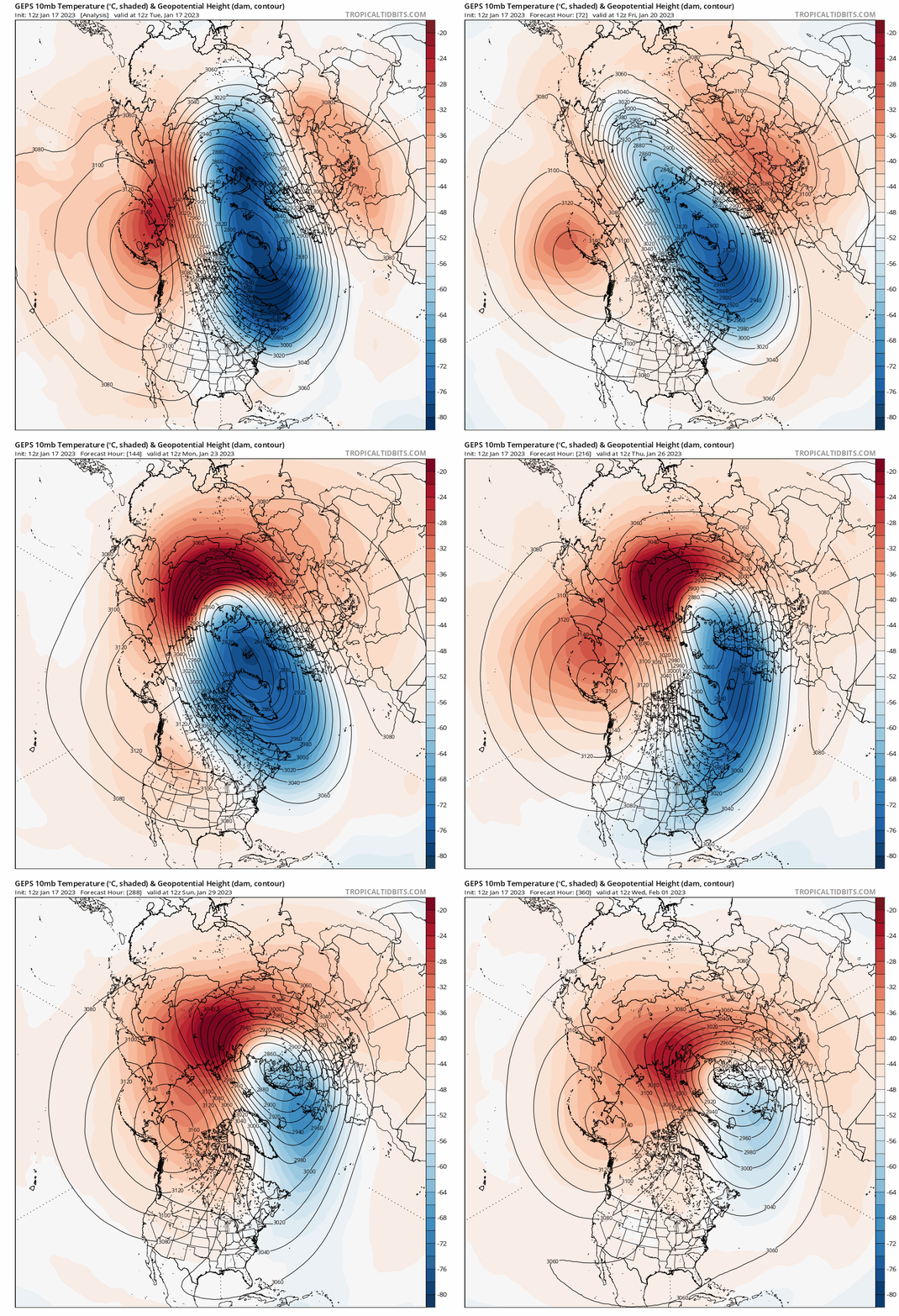
This could permit some Siberian cold to slosh over the North Pole and finally supply the Canadian Arctic with typical winter cold. That’s something we’ll need to watch over the coming weeks to see whether we can salvage the second half of snowmobiling season.
For the ilsnow nation,
Darrin
This report is brought to you by Village Motorsports in Speculator. Their mission is to offer you the latest in snowmobile parts and products at the best prices, and with unparalleled service. They pledge to make your experience both beneficial and enjoyable. Once you give Village Motorsports a try, you’ll be back for more!

