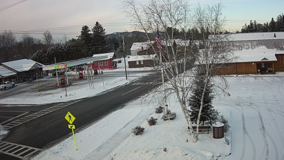

Let’s get the trail report thing out of the way: I wouldn’t recommend traveling from any meaningful distance to ride your snowmobile here.
The beat goes on for this latest snow drought, as you can see by looking at my Indian Lake snow climatology table.
The best I can say for our weather this week is that it won’t wipe out our thin snow cover. But we need “home run” snow to jump start our (to date) putrid snowmobiling season.
I’m not yet willing to call the entire upcoming winter a bust, because nobody knows for sure what the future holds. But I have concerns about the root causes of our troubles sticking around for a while.
Let’s break it down….
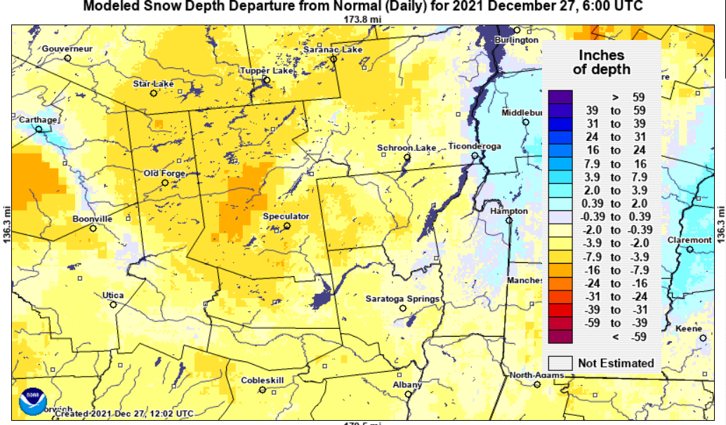
Snow cover
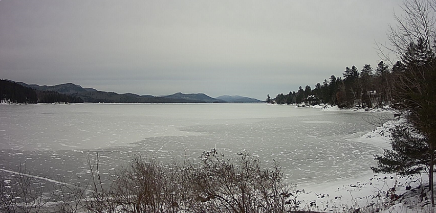
Snow cover over the eastern and central United States continues to lag behind climatology while the west is where it’s at for snow.
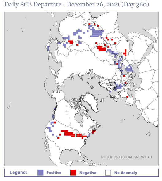
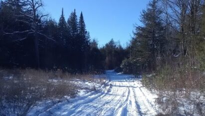
In our neck of the woods, you can see the Adirondacks are running well below normal in snow depth. Not even Tug Hill has caught close to their usual share of lake-effect snow.
Looking ahead toward the weekend
A series of weak weather systems will move through this week. I’m hard pressed to see any of them bringing enough snow to move the needle upwards for us. Which leaves us at…..
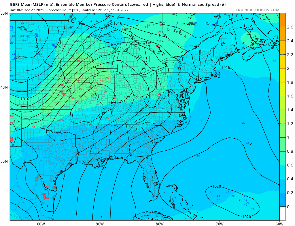
….the Weekend! GEFS ensembles are showing a modestly stronger system approaching us Saturday and lasting into Sunday. The trajectory suggests a snow to mix/rain and back to snow scenario. But (as of Monday) I’m not going to hazard a guess on whether it’ll bring enough snow to give us a sorely needed boost. The mid-term modelology has been having a exceptionally poor track record handling weather systems under this regime.
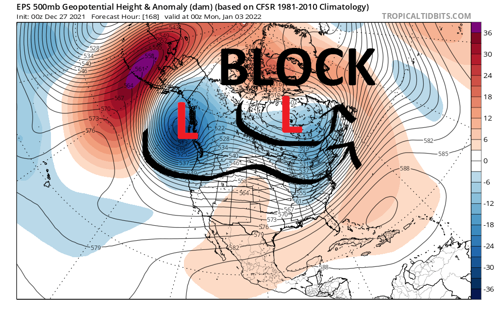
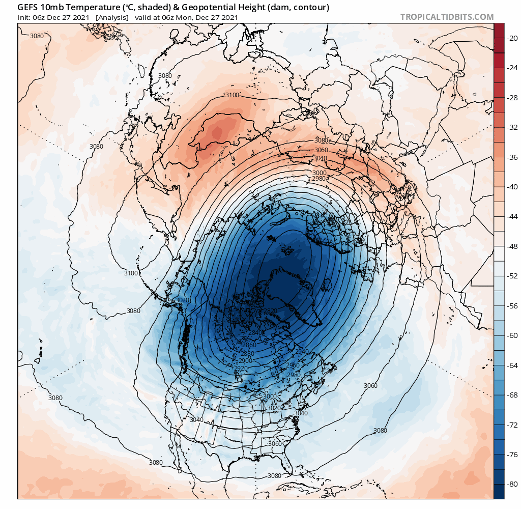
By Sunday/Monday, the ensembles show a lobe of the Polar Vortex moving toward Hudson’s Bay, tunneling under the block. This in turn, should send a drop-and-drive shot of Arctic chill here by early next week.
After that?
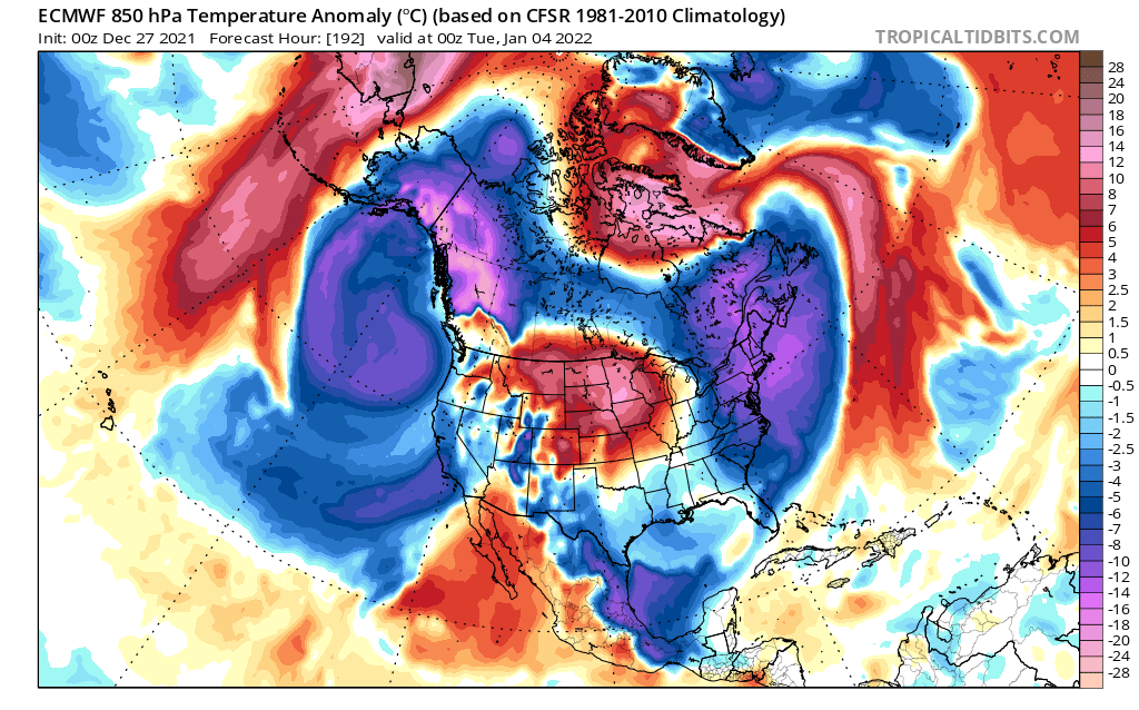
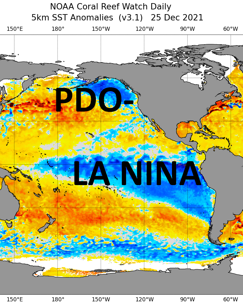
We’d love to think this would be “pattern change” to propel us into deep, unrelenting winter. But going forward, the players that have stuck us in this snow drought are expected to remain in place until further notice. These include negative phased Pacific Decadal Oscillation (PDO-), expansive La Nina and no disruption to the strong stratospheric Polar Vortex.
As the old saying goes: Keep doing the same things to get the same results. It’s being proven that meaningful snow opportunities for us are far and few in between under this regime.
Wish I could be more optimistic, but I don’t have the vision (or imagination) for that.
As such…. We keep waiting!
For the ilsnow nation,
Darrin
This report is brought to you by Steet Ponte Auto Group. Many of the vehicles here in Indian Lake are bought from the Steet Ponte. Co-owner Joe Steet is a huge fan and booster of ilsnow.com. If you’re looking for a new truck, give Steet Ponte a good look.