
We’re still weeks behind schedule for the arrival of real snowmobiling here in the central Adirondacks. But the locals are now able to slither around town on their beaters.
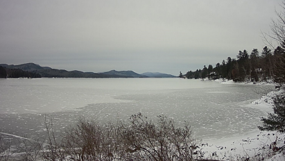
Don’t let the pretty headline picture fool you. There are plenty of mud holes and sled-smacking rocks lurking in the woods along with early-winter blowdown.
In regards to TRYING Moose River Plains or Perkins Clearing, I can’t really recommend traveling from any meaningful distance for a “look-see” ride. If you happen to be here anyway and you’ve got sled-on-trailer, it’s there at your own risk. Most would be wise to wait until more snow.
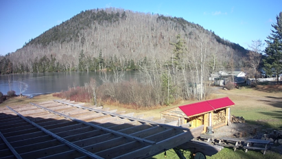
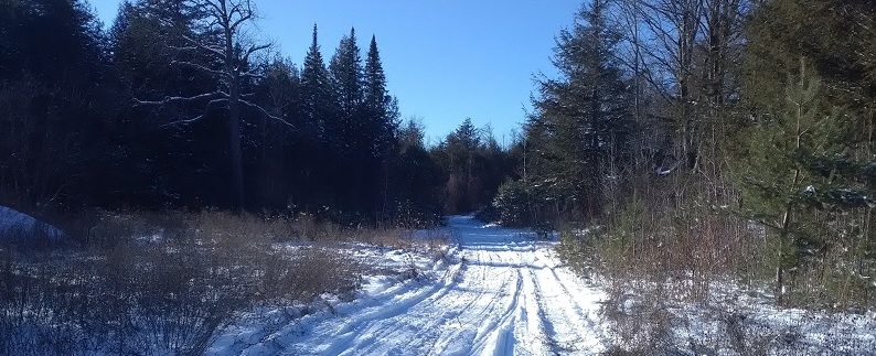
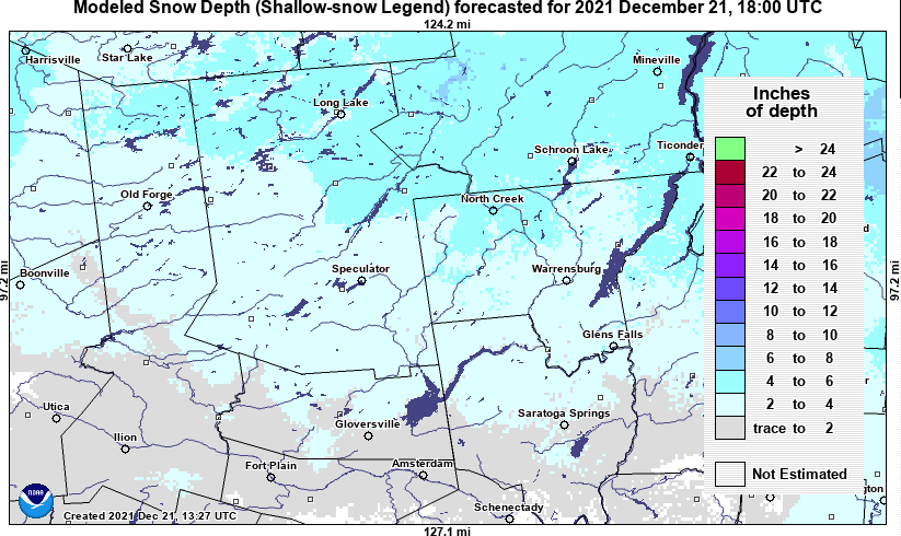
Snow cover is on the order of a few to several inches…
Now that we’ve got current conditions out of the way, let’s play it forward…
Christmas present?
No meaningful snow is expected though the week as we miss out on a developing coastal storm on Wednesday. But a pulse of snow could move through the Adirondacks late Friday night into Christmas morning, in response to a modest weather system approaching us.
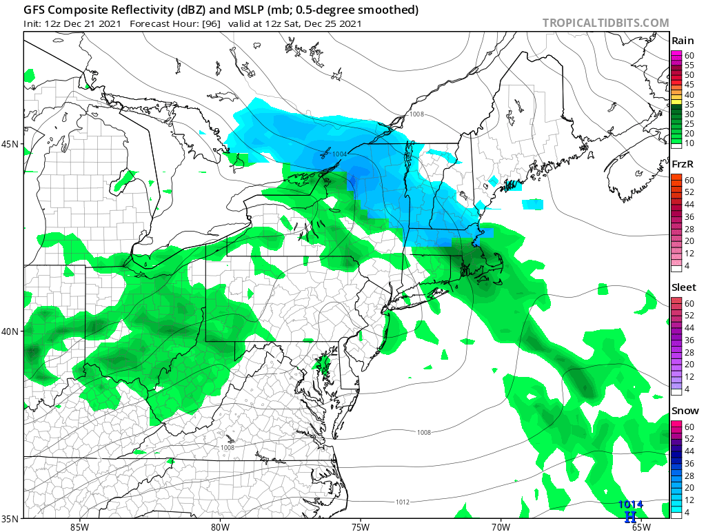
I’m not expecting home run snow, but this may add a nice topping to our starter snow. Hey, at least we’re not repeating last year’s Christmas Eve Massacre! Even a small victory is one worth celebrating when we’re begging for scraps.
Looking ahead
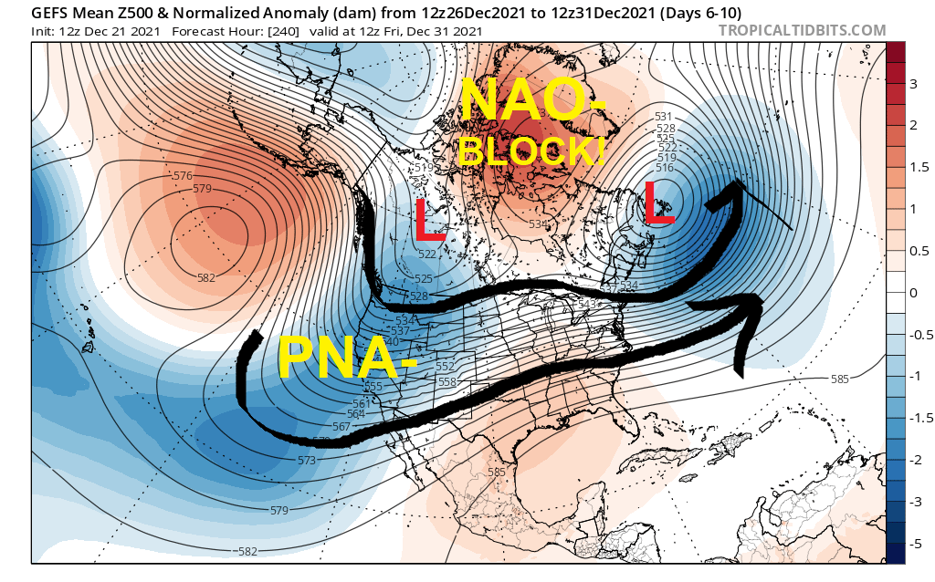
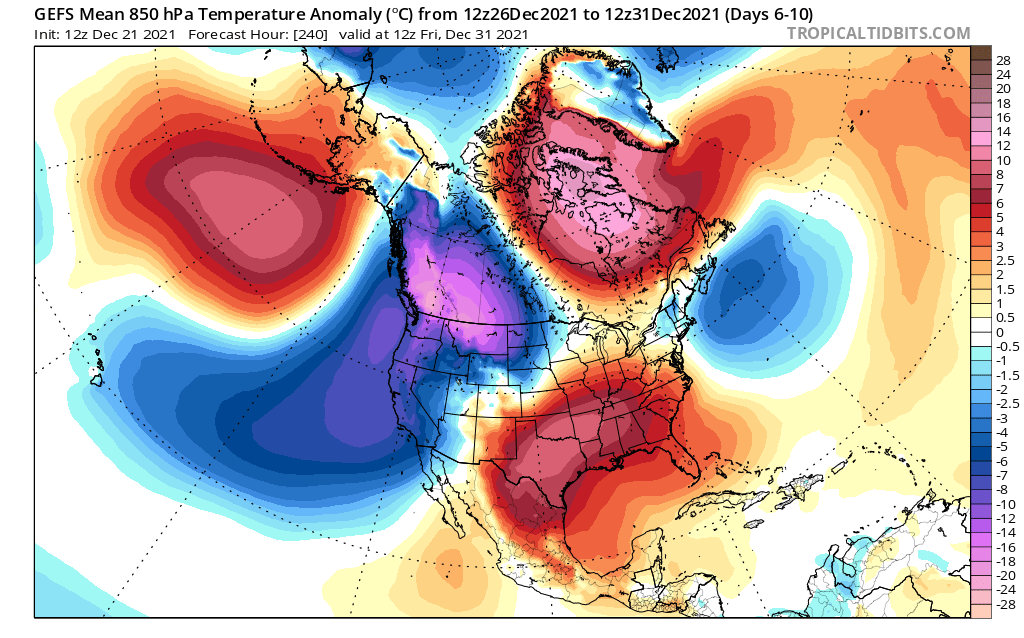
With the North Atlantic Oscillation (NAO-) strongly in negative phase through the end of December, resultant blocking should deter blowtorch warmups. But the persistent Pacific North America Oscillation (PNA-) regime will remain a problem, bottling true Arctic chill over western Canada and northwestern United States.
The net result for us should be bouts of seasonably cold air and slightly milder than normal air-masses. I’m hard pressed to believe this pattern would support nor’easter development with a strong zonal jet stream racing across the United States. The best hope would be quick succession of moderate, over-running precipitation events approaching from the west or southwest to build up snow pack.
Beyond that?
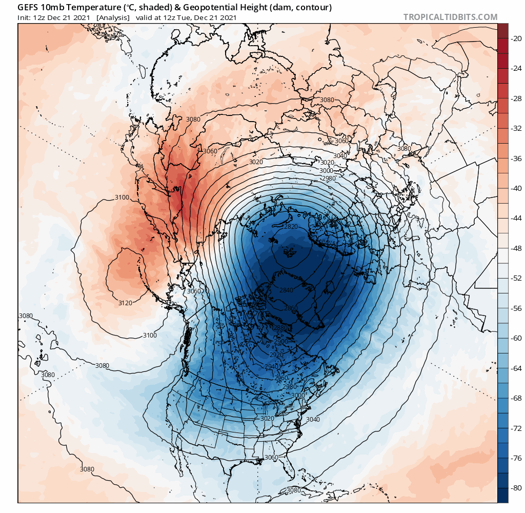
GEFS ensembles still indicate no weakening of the stratospheric Polar Vortex (SPV) into the early days of January 2022. But they do indicate a possible sudden stratospheric warming (SSW) event gaining steam over Siberia by January 6th. It’s not known yet whether this event would migrate toward the North Pole and disrupt the stratospheric Polar Vortex enough to finally allow chunks of Arctic air to break free into the eastern United States.
Bottom line: I believe we’ll see improvement over the next 2-3 weeks, but probably not as fast as we’re hoping for.
Remember back when I said that winter may get off to a sluggish start? It wasn’t just a bad feeling. There were many clues dropped in front of us.
For the ilsnow nation,
Darrin
This report is brought to you by Chef Darrell’s Mountain Diner on the snowmobile trail in Blue Mountain Lake! A traditional diner serving breakfast all day, as well as lunch and dinner. They use fresh ingredients to handcraft a home-style menu in a casual, family-friendly environment. Open Thursday through Sunday all winter.