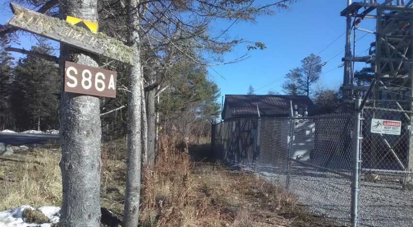
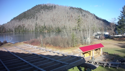
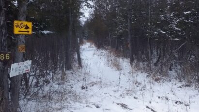
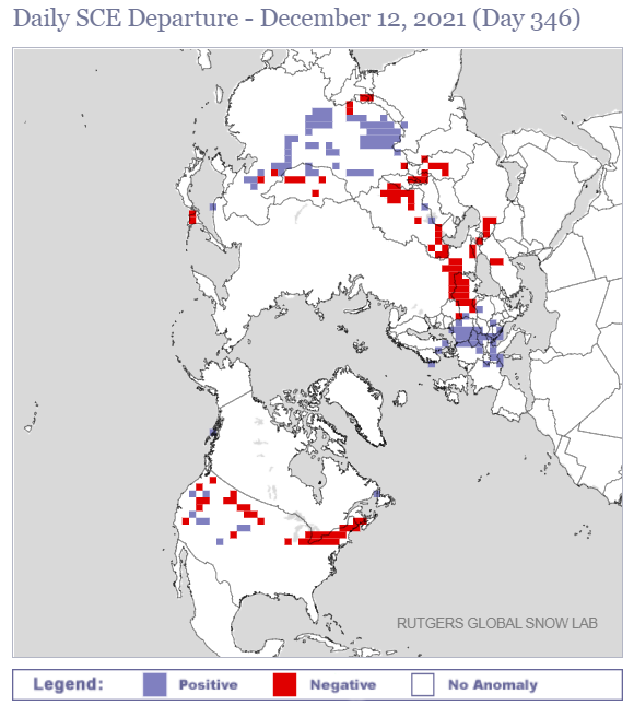
I’ve never been one to hide the truth when it comes to reporting snowmobile trail conditions. The headline picture says it all.
To nobody’s surprise, the weekend storm wiped out our meager snow cover.
Adding insult to injury, strong winds knocked down many trees. Some of them are now blowdown that trail crews will have to clear out once we get rideable snow.
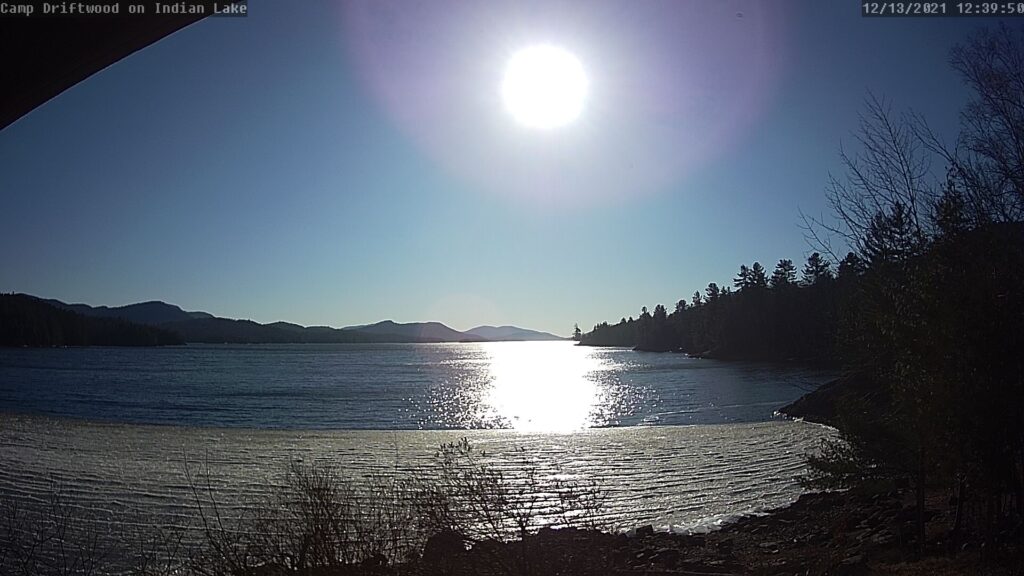
Not like it would have been “safe” by any means to ride your snowmobile on Indian Lake last week. But you can see the wind and warmth broke it open.
Snow cover spread remains behind climatology for North America, especially in our neck of the woods. This indicates that overall lack of cold remains a problem.
Coming up
Spoiler alert: No help this week!
The warmth will crest on Thursday, December 16th as the blowtorch steams through.
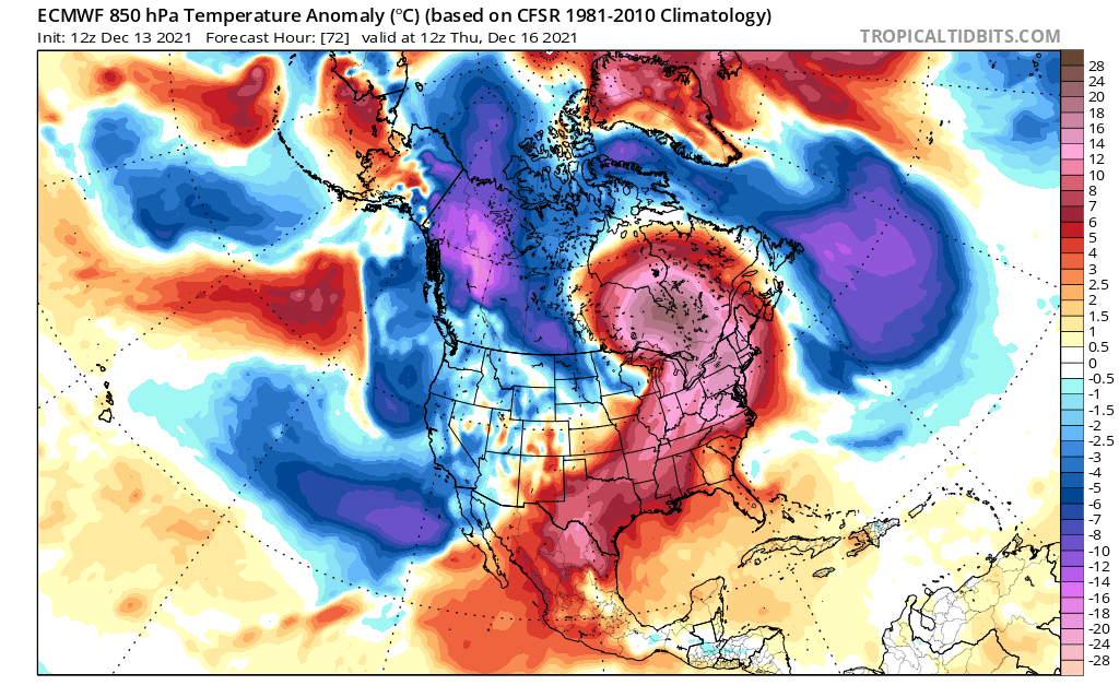
In this regime, temperatures should make a spirited run toward 60*F in the heart of the Adirondacks. That’s unseasonable, near-record warmth for this time of year.
Of course, 60 degree weather in mid-December is unsustainable and we’ll cool back down for the weekend. But true Arctic chill should remain out of sight until further notice.
The weekend
By Saturday, December 18th we’ll have a marginally cold air mass in place with a weather system rolling through.
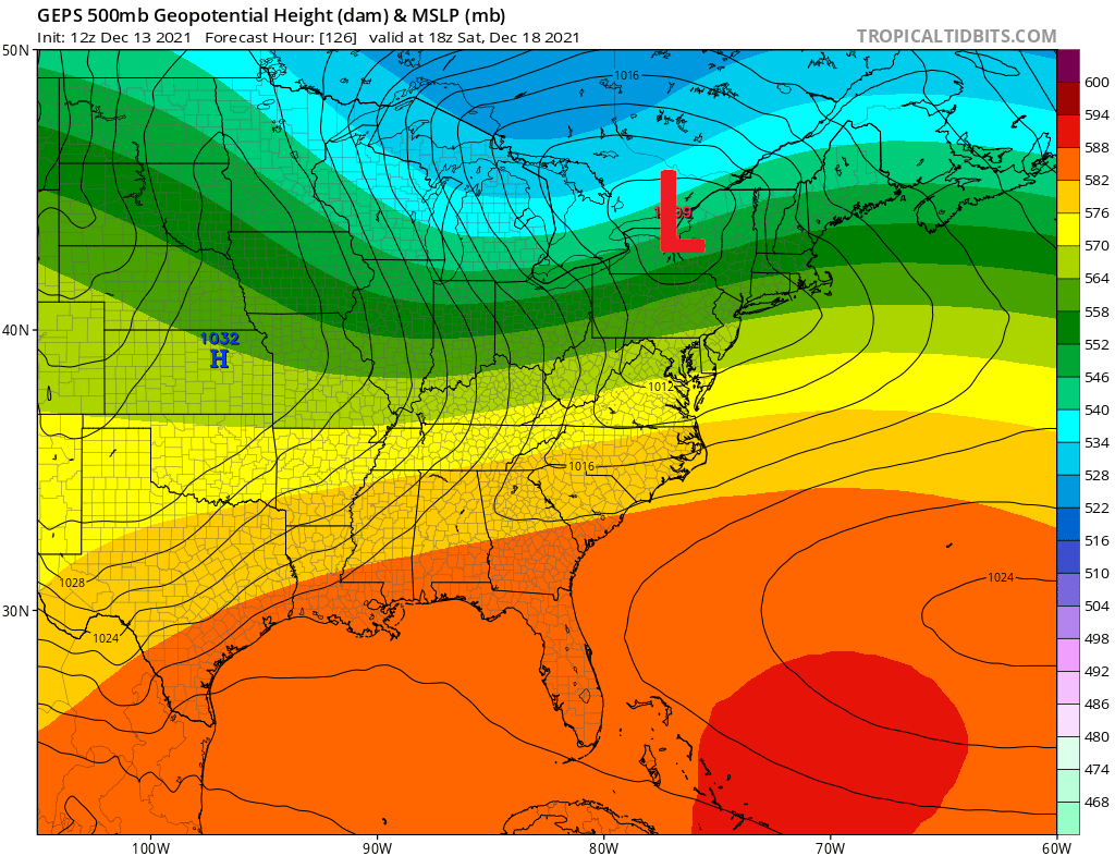
Some of the modelology variants show a weaker system tracking somewhat further south than what is shown on the above GEPS Ensemble chart. That would tend to favor snow more than rain for ilsnow land. But with lack of truly cold air and rapid movement of the weather system, I wouldn’t anticipate significant snow.
But hey…. ANY snow we get would be a victory, no matter how small. I just want to see the ground covered white again!
Pattern change?
We’re hearing all about massive pattern change or flip that’s supposed to happen between Christmas and New Year.
I think that “pattern change” is overused and abused. Cold fronts bringing the temperature back down toward “normal” is not a pattern change. That’s just an atmospheric correction for unseasonable warmth.
The strong stratospheric polar vortex (SPV) may have something to do with our problems. Studies show that concentrated cold in the high atmosphere over the North Pole favors a strong zonal flow over North America – which is something we have seen most of autumn and into December.
One way to disrupt this stranglehold would be a sudden stratospheric warming event (SSW) over the North Pole. The GEFS ensemble show no sign of this happening into the end of December 2021.
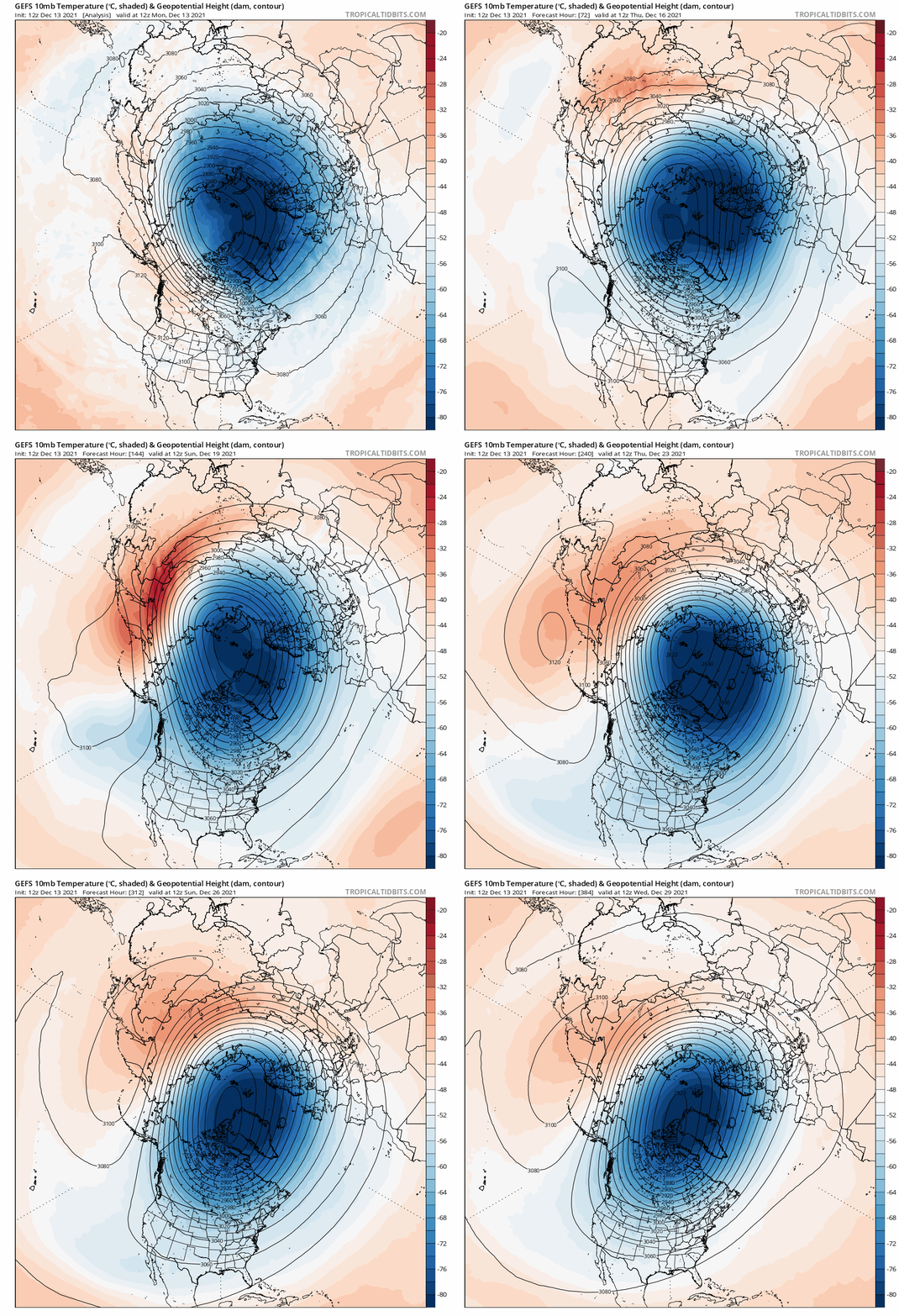
You can see what an actual sudden stratospheric warming event looks like from last winter between December 30, 2020 and January 5, 2021. In essence, the stratospheric Polar Vortex (SPV) split with one piece dropping into North America and the other piece dropping into Eurasia.
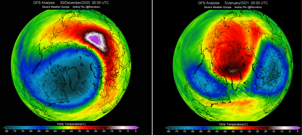
This paved the road for seasonably cold air masses and eventually the snow that granted us a solid 6 week stretch of snowmobile riding from Martin Luther King weekend into early March. It was still a “short” winter, but at least we were able to salvage something solid after a horrendous start.
Bottom line
The end of December should be better than mid-month, almost simply by default. We have a very low bar to clear!
Until I see real and tangible signs of massive disruption to our prevailing weather regime, I have to remain skeptical. Winter doesn’t seem to be in a hurry to gain a foothold in recent years.
For the ilsnow nation,
Darrin
This report is brought to you by Allen Van Hoff – Howard Hanna Real Estate Services. Voted Realtor of the Year 2016 by Southern Adirondacks Realtors Inc., Allen Van Hoff is best described as a warm and friendly, attentive full-time real estate professional with a passion for the area and people he serves.

