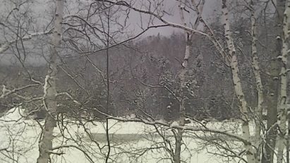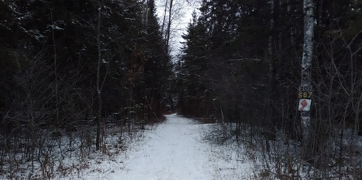

The Christmas Eve Massacre of 2020 has come and gone – leaving ilsnow land scorched and torched. Light snows Saturday into Sunday morning amounted to a dusting to an inch around Indian Lake. There isn’t anything “snowmobile ride-able” around here.
I saw some people ice fishing on Adirondack Lake by Byron Park Sunday morning. But the bigger lakes, like Indian Lake? Stay OFF!

Unfortunately, I don’t see a ready path to redemption.
Last week, I was hopeful that a couple of weather systems would present sizable snow opportunities prior to New Years Day. But that doesn’t appear likely now.
Monday’s system should add some white to the central Adirondacks, but not anywhere near enough to get us cranking:

There will be a decent shot of winter cold on Tuesday, but the lake-effect snow guns won’t be pointed toward Moose River Plains where it would have done some good for us.
A more significant system will cut toward the Great Lakes by New Year’s Day. Several days ago, it appeared as though a developing blocking high near Greenland would shunt the system further south and east. But that’s no longer expected to happen:

As a consequence, we’ll be on the wrong side of the tracks again with the likelihood of another rain event around New Year’s Day. There may be enough cold air trapped near the surface for freezing rain – but it’s not looking promising for a snow event.
After that? It’s difficult for me to see much good coming with anomalous warmth rolling across southern Canada to start the New Year:

What’s the problem here?
Here’s a big key to understanding why it hasn’t been cold for long periods so far this winter:

When the source region for our cold is running anomalously warm, it’s not going to get very cold around here. This has been a common theme since autumn into early winter.
Some people will say “it’s early”, but it’s not as early as you might think. Meteorological winter runs December through February, so we’ve already had one-third of that season under our belt to see that something is clearly amiss – and not likely to reverse itself anytime soon.
While it’s true there hasn’t been much “Greenland blocking” this winter, that is not our biggest problem.
There simply isn’t a sufficient amount of truly cold Arctic air over North America to provide resistance to oncoming warm surges. Thus, we are left with narrow pathways to meaningful snows in which we need the storms to track just right to place us in favorable positions.
And I believe the continuing MASSIVE drought over the western United States will continue to enhance the warm surges though the winter:

Will this change?
I really can’t tell you what it’s going to do mid to late winter. But there is almost no available evidence to suggest a big turnaround to sustained cold and snowy conditions.
Could we get a 2-4 week period where we get a ton of snow and have it stay just cold enough to keep the good times rolling – like we did in February last winter? Yeah….maybe…. But that’s beyond the scope of anything tangible right now. With the lack of cold air over North America thus far, I’d have a tough time believing that winter wouldn’t give up the ghost quickly in March.
So the bottom line is that you better be ready to rip whenever the snow comes. As we’ve seen elsewhere in Upstate New York, 2-3 feet of snow can be smoked away in a night – only one week after a big dump.
For the ilsnow nation,
Darrin