Amendment Proposes Multi-Use Community Connector Trail Along Route 28
Public Meeting Nov. 28 at Raquette Lake Free Union School, starting 6pm
Deadline for Comment is Dec. 7, 2018
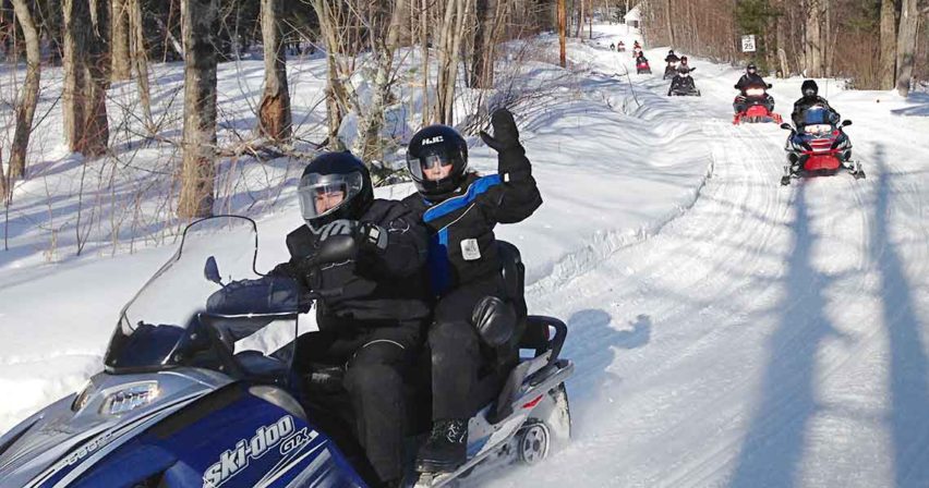
The New York State Department of Environmental Conservation (DEC) is seeking public input regarding a proposal in an amendment to the Blue Ridge Wilderness Unit Management Plan (UMP) to develop a multi-use community connector trail along State Route 28 in Hamilton County, DEC Director Bob Stegemann announced today.
“The proposed trail will connect the communities of Indian Lake, Inlet, Raquette Lake, and Long Lake as part of Adirondack Community Connector Trail System,” said Director Stegemann.“DEC’s goal is to protect natural resources, provide outdoor recreational opportunities for residents and visitors, and ensure the Forest Preserve is an asset to the communities and a benefit to local economies.”
The proposed trail extends the Seventh Lake Mountain Trail to Sargent Ponds Multiple-Use Trail and will be maintained as a Class II Community Connector Snowmobile Trail. Establishing a land-based community trail link between Indian Lake and Long Lake was included as community connection goal in the 2006 Snowmobile Plan for the Adirondack Park and the 2011 Moose River Plains Wild Forest Unit Management Plan. DEC is working to relocate designated snowmobile trails away from water bodies for safety reasons.
A public meeting will be held at 6:00 p.m. on Nov. 28, 2018, at the Raquette Lake Union Free School District, 115 Route 28, Raquette Lake, NY. The meeting facility is wheelchair accessible. Please provide requests for specific accommodations to 518-623-1275 at least one week in advance.
The proposed trail segment within the Blue Ridge Wilderness will start at the bridge over the South Inlet of Raquette Lake and follow a route parallel to the south side of New York State Route 28 eastward for approximately four miles to private property near Bear Brook.
The Adirondack Park State Land Master Plan allows DEC, in conformance with a duly adopted unit management plan, to locate a snowmobile trail within 500 feet of the wilderness where the wilderness boundary abuts a public highway.
The Draft UMP Amendment is available on the DEC website to view or download.
The deadline for public comments is December 7, 2018. Provide comment at the public meeting, mail to Forester Nick Addison, NYSDEC, P.O. Box 1316, Northville, NY 12134, or email to R5.ump@dec.ny.gov .
DEC considers all comment equally no matter how they are received.


