The second week of October got rather warm, making us wonder if summer would ever truly leave.
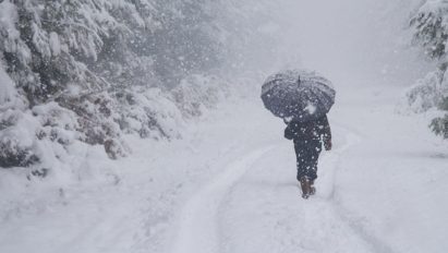
But, the past couple of weeks have been pretty cold (for mid-late October) with our first smatterings of snow, including the sleet-fest we had Saturday in Indian Lake:

It never got cold enough on Saturday for much real snow here in Indian Lake. But places east of Indian Lake did a bit better with a nice covering of snow/sleet mash several miles east of town on Route 28 heading up Raquette Brook Hill:
Credit goes to Bill Reynolds for taking that shot on his jaunt through ilsnow land. 🙂
Coming up…
By Tuesday this week, we’ll have a set-up that we haven’t seen in a while:

Let’s say that I wouldn’t bet the farm on deep freeze cold or snow for Halloween with a trough crashing into the western United States and the Arctic/North Atlantic Oscillations in their positive phases (AO+/NAO+).
But yet, I wouldn’t say the next 7-10 days will be an absolute blowtorch either, with alternating shots of mild and cold coming down the pike. You’ll want to hit the thumbnail below to play the movie:
November Outlook
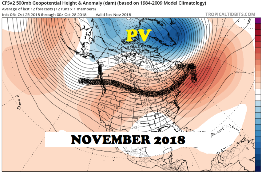
The climate model ensembles are flashing a fairly flat flow across the United States under a Polar Vortex (PV) north of the Arctic Circle:

To be honest, this is not a great look for lots of snow and cold in November here. If anything, there is slight trough-iness indicated over the Great Lakes States, so there may be some room for a couple of significant snowstorms or lake-effect snow events in that area.
With this pattern, I think we’ll have alternating shots of warm and cold, but temperatures are likely to average somewhat above normal, overall, for November.
Looking northward…
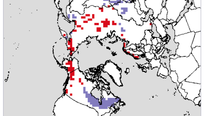
The spread of Siberian snow cover into central Russia has been slow, but it’s making good advances southward into Mongolia and westward into Scandinavia:

Snow cover advance into eastern Canada has been robust on October. The lack of snow in Alaska and the western United States doesn’t bother me and it may indicate persistent Pacific-North American ridging (PNA+) for the upcoming winter.
To see other indications I’ve been looking at, you can go to my previous post, thence scroll down to: “How about this winter?”
The bottom line is that I think we have an opportunity for a decent winter at the very least. In any given 10-15 year period, we typically have a few great winters, a few lost-cause ones and the rest are ride whenever we have the snow.
Keeping up with my updates this winter
I will tend to post about long range weather patterns on the main website. For more time-sensitive storm updates and random things that pop up in my head at 3am, I’ll post on the Facebook page which is found here: www.facebook.com/ilsnowcom
Make sure that you:
- Click the Like Button (if you haven’t already)
- Under Following, set to “See First” in your news feed & set notifications “On”
This will give you a fighting chance of being notified of my updates on Facebook.
For the ilsnow nation,
Darrin
This report is brought to you by Adirondacks Speculator Region Chamber of Commerce. Speculator has long been one of my favorite places to ride! There are lots of options, whether you want to ride around Speculator for the day, or launch a 250 mile mega-miler. Speculator is loaded with businesses eager to cater to snowmobilers. Look them up at the Speculator Chamber and grab a copy of their snowmobile trail map. Be sure to tell them that Darrin @ ilsnow.com sent you.


