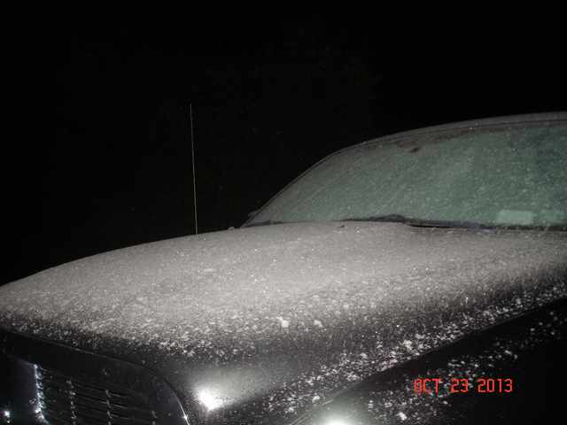
Here’s a nice teaser: a snow-dusted car in Morehouse this morning!

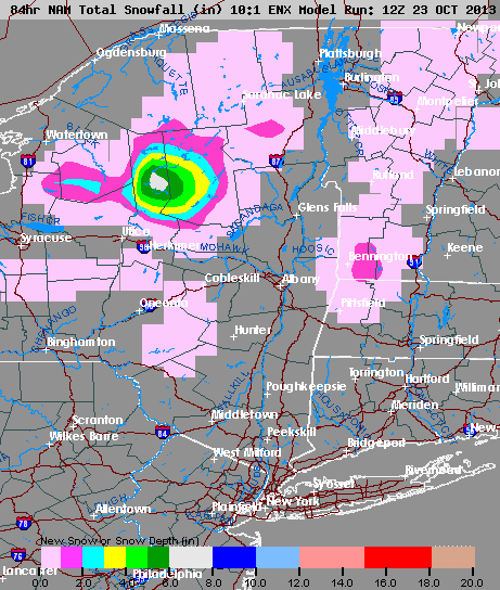
The latest trends are showing a more westerly flow as opposed to west-northwest flow, which spreads the heavy snow over a greater area through the western Adirondacks. The 12Z MesoNAM is painting a large swath of 3-6 inch snowfall from tonight through Thursday night for places like Morehouse, Old Forge, Inlet into Moose River Plains and Perkins Clearing:

Note the relatively paltry snows over Tug Hill. The 60*F Lake Ontario could become a major hinderance for snow accumulation over there. The marginal cold air immediately downwind from Lake Ontario will make it a fine line between substantial snow and disappointment, a tough forecast call for the Tug!
Here’s a GREAT site to watch the lake effect snow turn things nice and white:
http://www.hamiltoncountychoppers.com/hcc/SnowCam.html
I’m hoping for a burst of snow at the ilsnow.com storm center Thursday morning to make a nice video before I head off to work. 🙂
Darrin @ ilsnow.com

